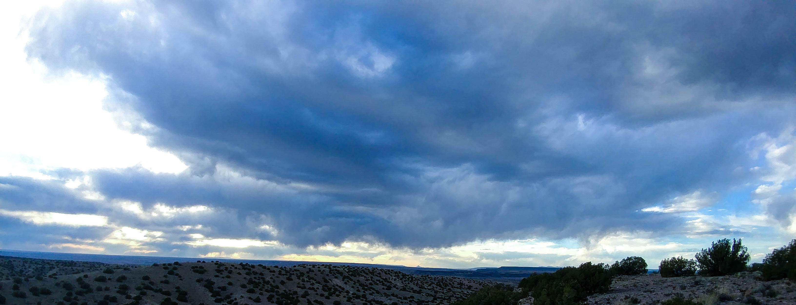
The sky is melting.
Five hundred plus two-fifty sliding
down on loose rocks and slick dirt.
Can’t stop all that metal
when the sky is melting,
and my face matches.
But I am alive.
3 comments on When the Sky Melts
The sky is melting.
Five hundred plus two-fifty sliding
down on loose rocks and slick dirt.
Can’t stop all that metal
when the sky is melting,
and my face matches.
But I am alive.
Even one week ago, today’s ride would have proven too difficult for us. But today we did it, we conquered the Crest. It was a really nice day for a ride, and a wonderful temperature for going up above 10,000 feet to hike around. The day started out a bit weird. Craig and I met up at the Flying Star on Rio Grande, where I got breakfast and he had coffee, but they were not on their game like usual, which was a bit disconcerting. There was some confusion about the timing of getting gas on the way out, and the city seemed to be swarming with cops as we were going up 66 to head to Cedar Crest and HWY 14. It’s hard not to speed and weave on a powerful motorbike. Cops always make me a little nervous on the road.
When we got to the first red light in Tijeras, we had seen many bicyclists, and there were two stopped on the side of the road going the opposite direction. Craig started yelling at them in an English accent about how badass they were for riding in the mountains with nothing but the power of their own legs. At first the dude looked very perplexed, but eventually they started laughing, and I laughed the whole time, watching this somewhat absurd interaction.
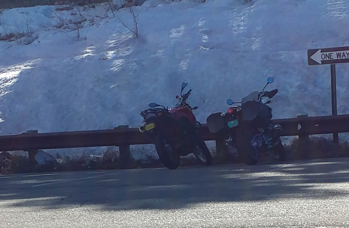
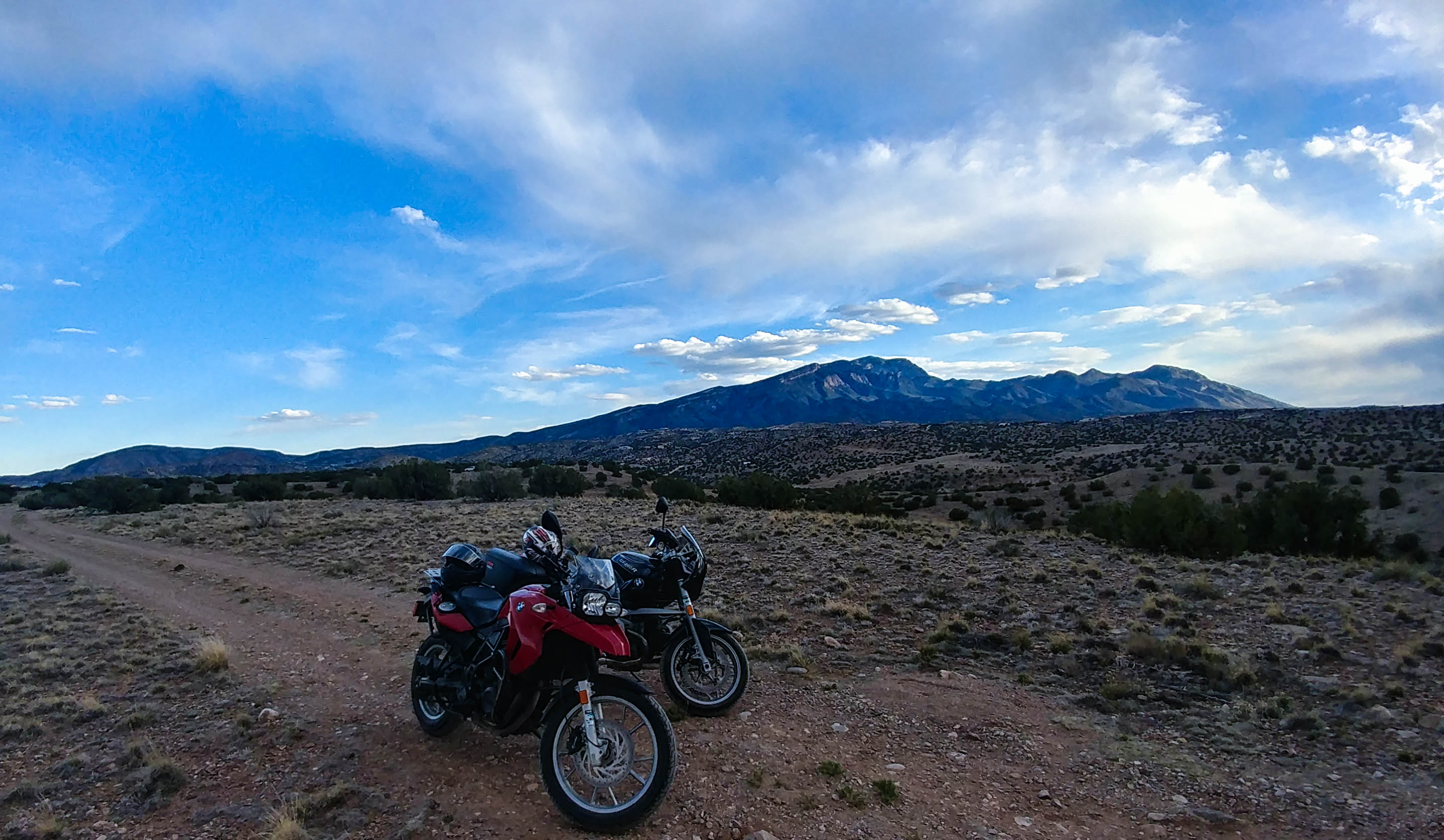
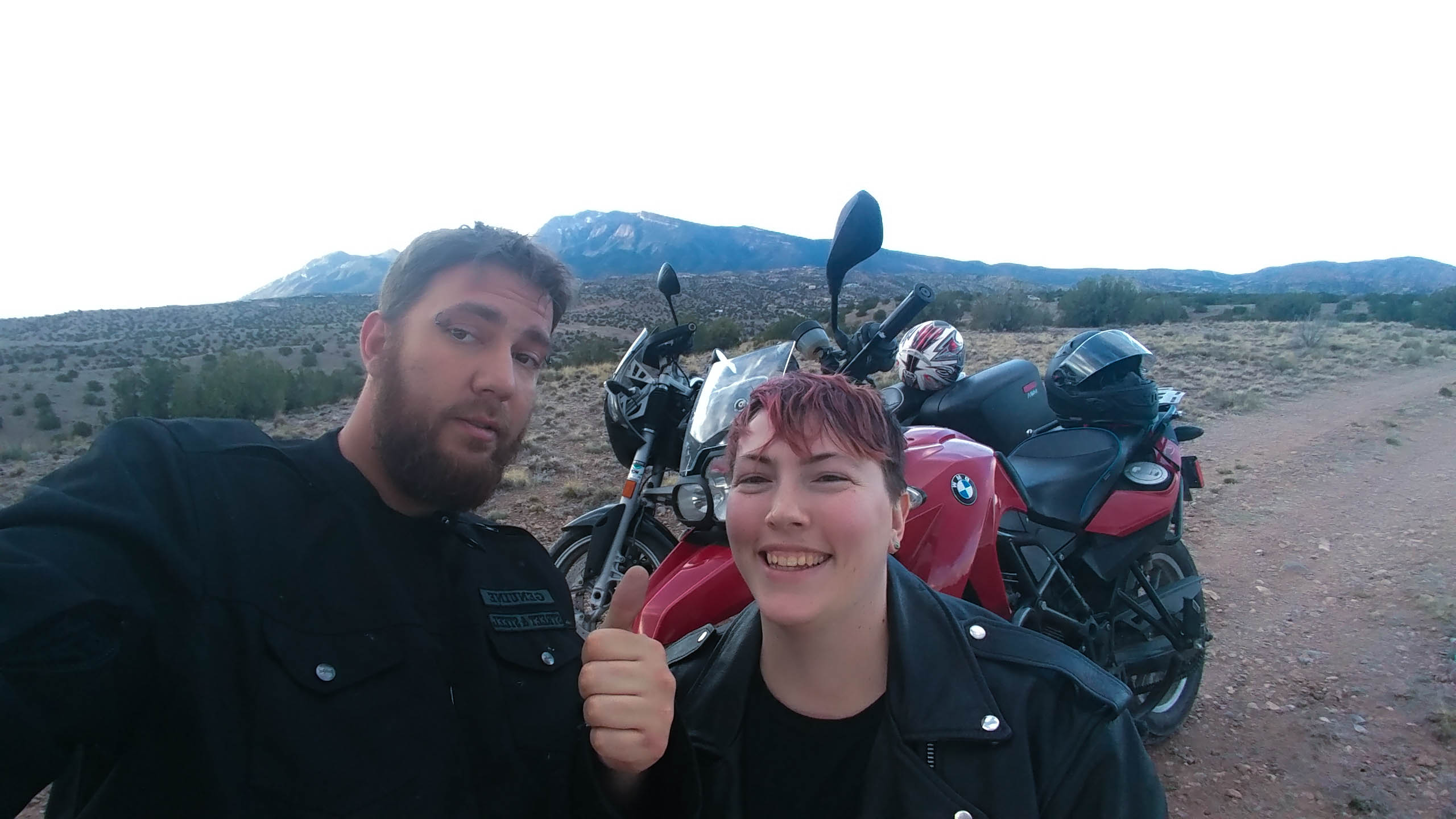
I felt very confident on my moto as we turned left onto the road up to the crest. I had been lead through Cedar Crest, but Craig passed me once we got into the National Forest, and set the pace for the trail up the mountain. I leaned into the turns and let the weaving of the road wind ahead of me as I shifted my weight back and forth to take the switchbacks.
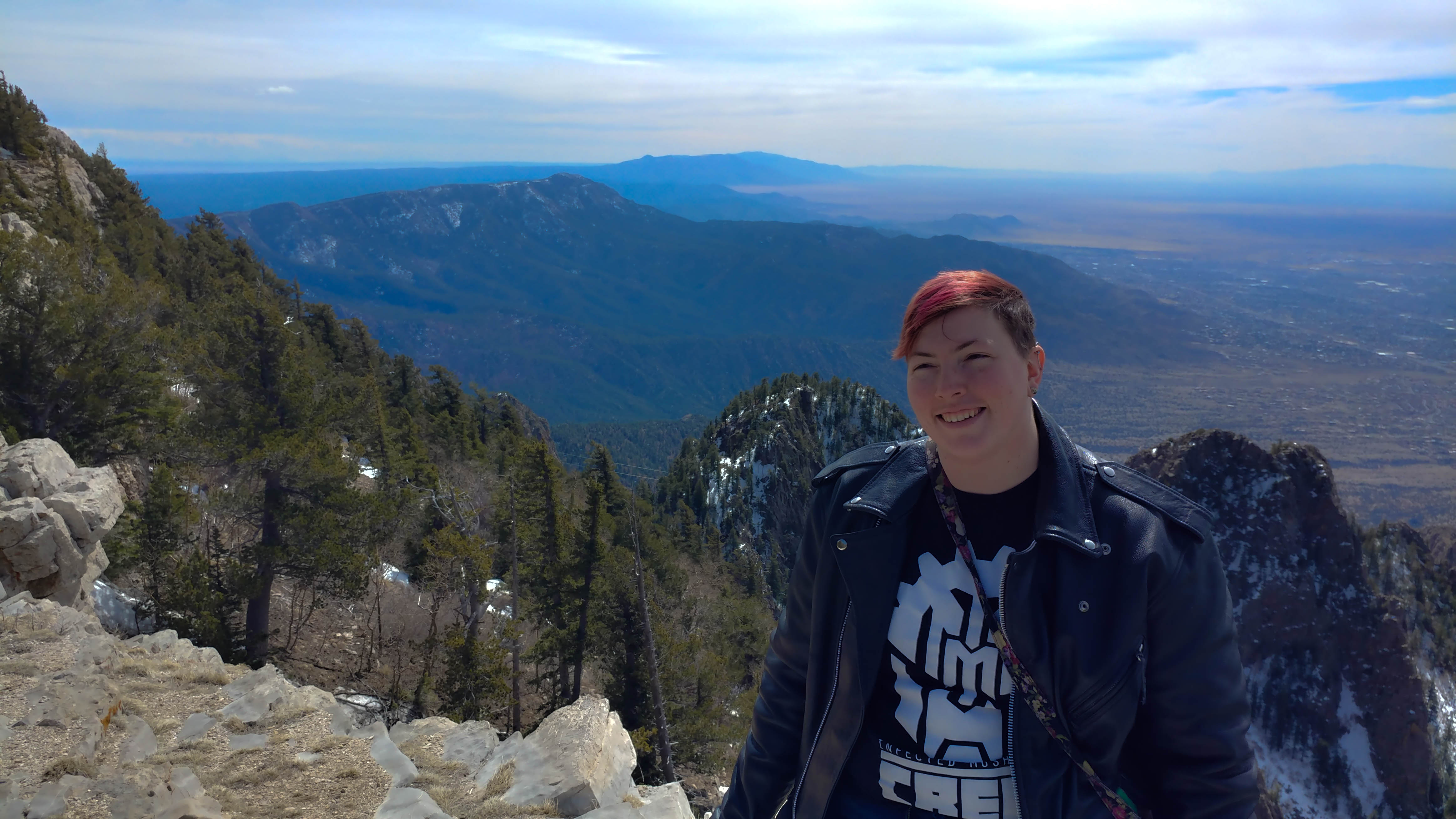
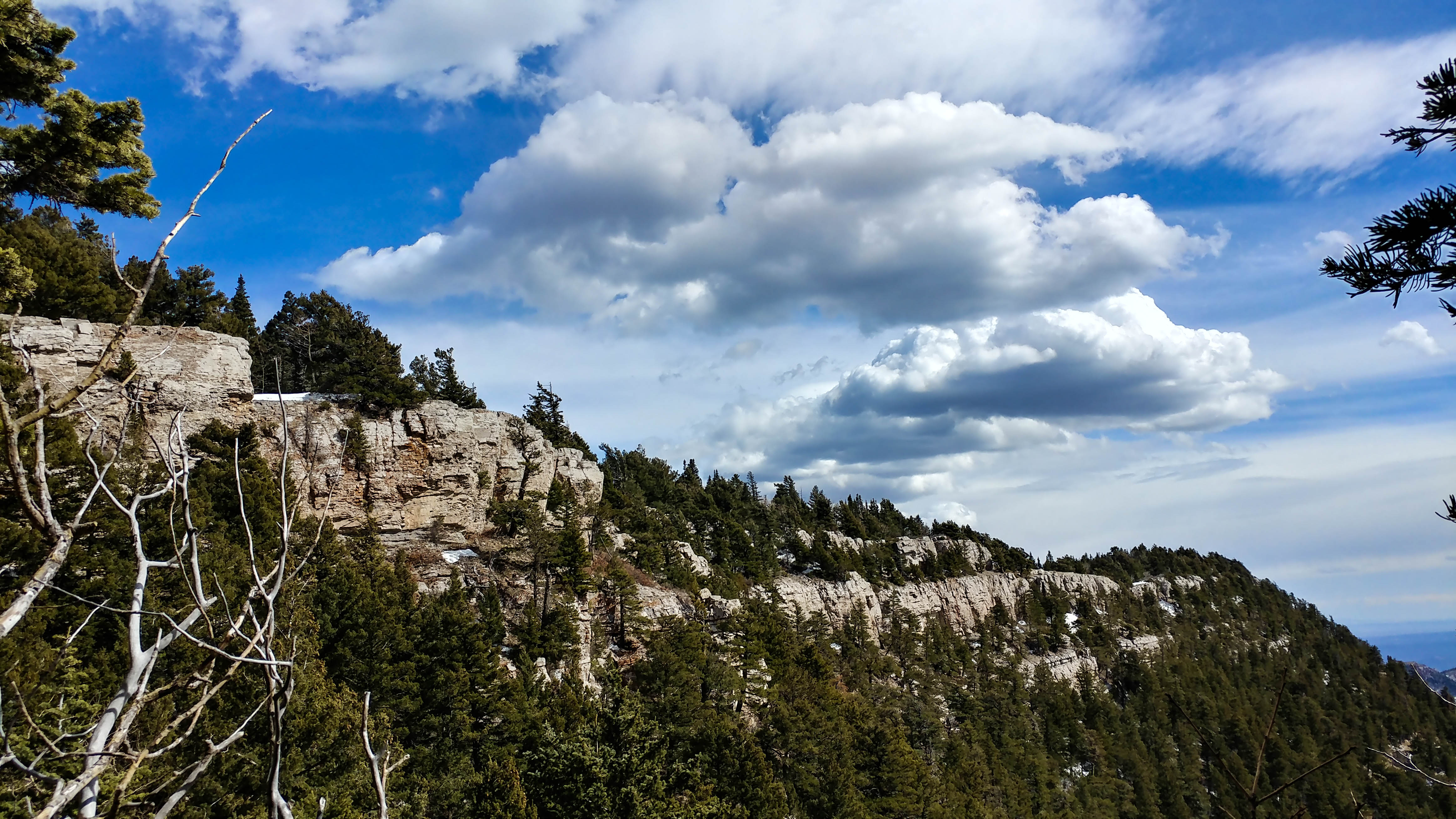
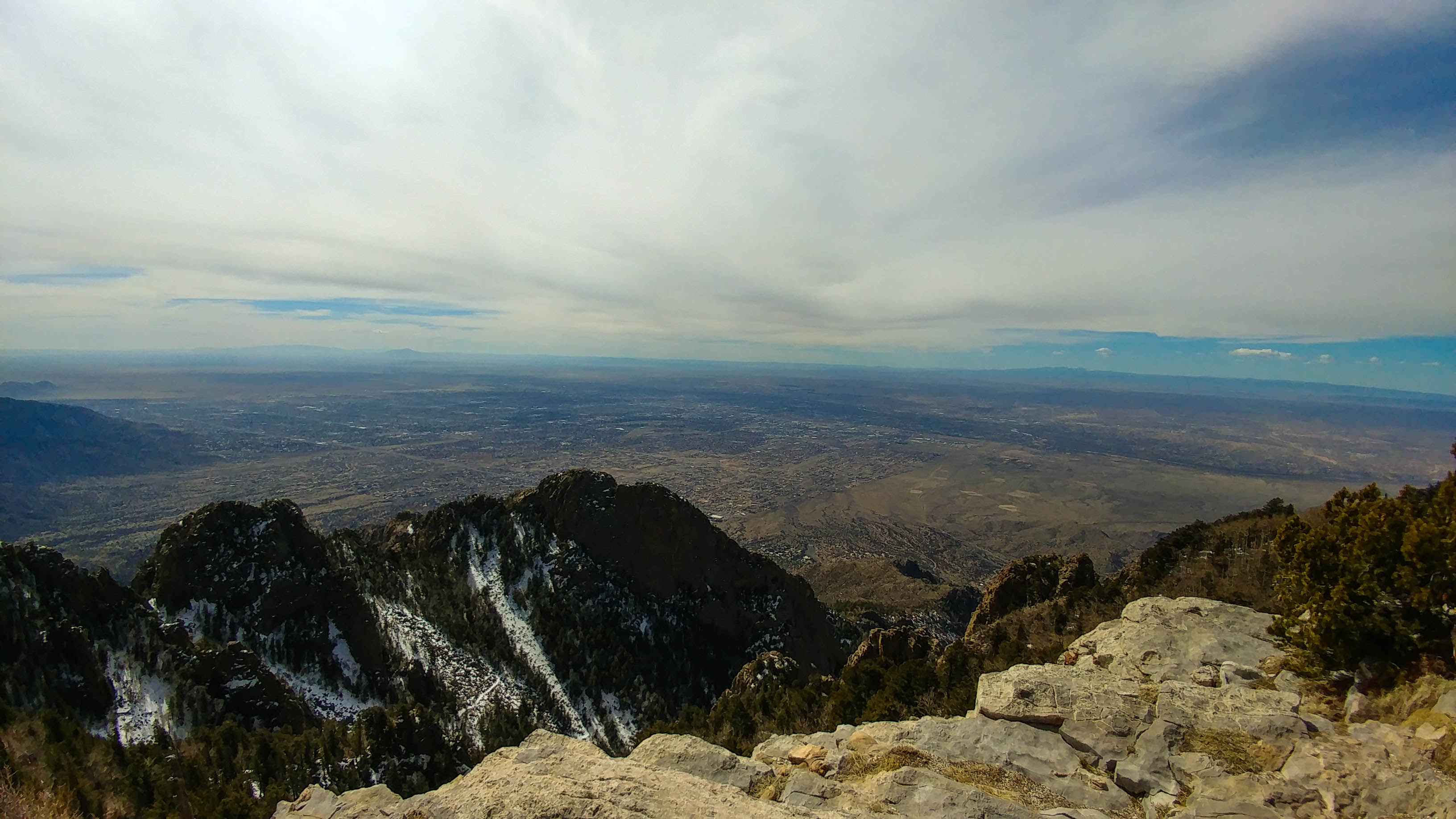
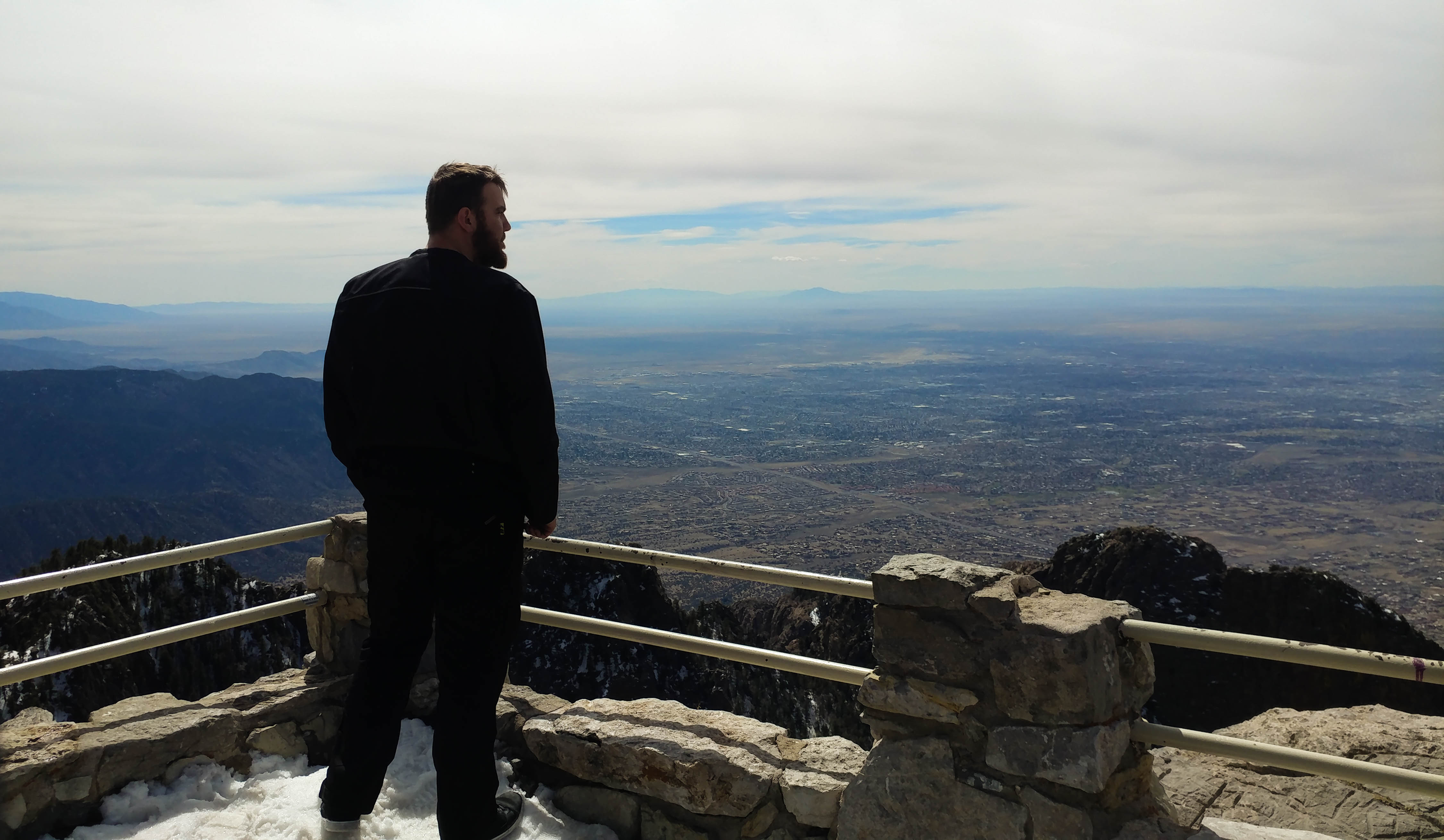
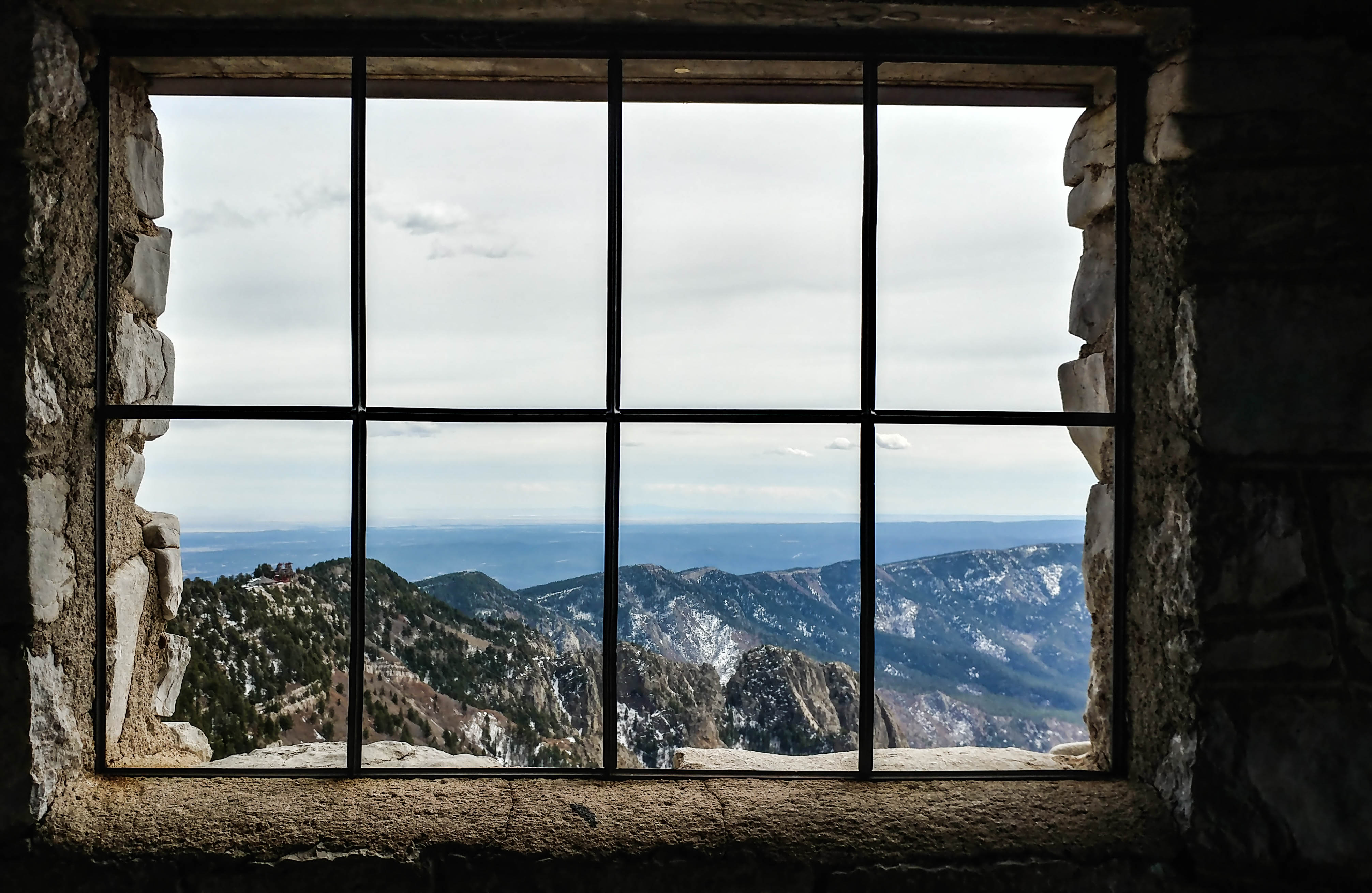
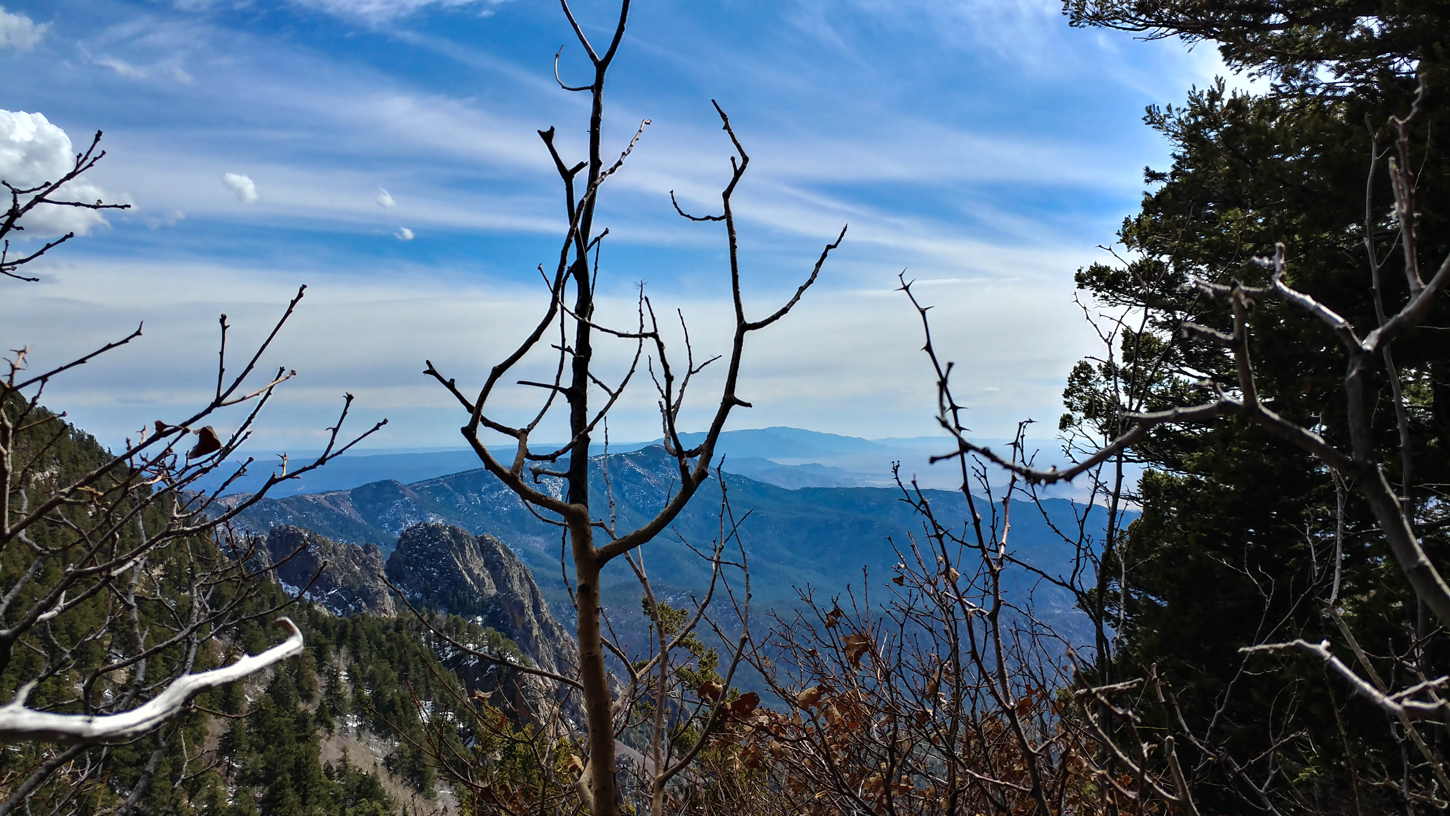
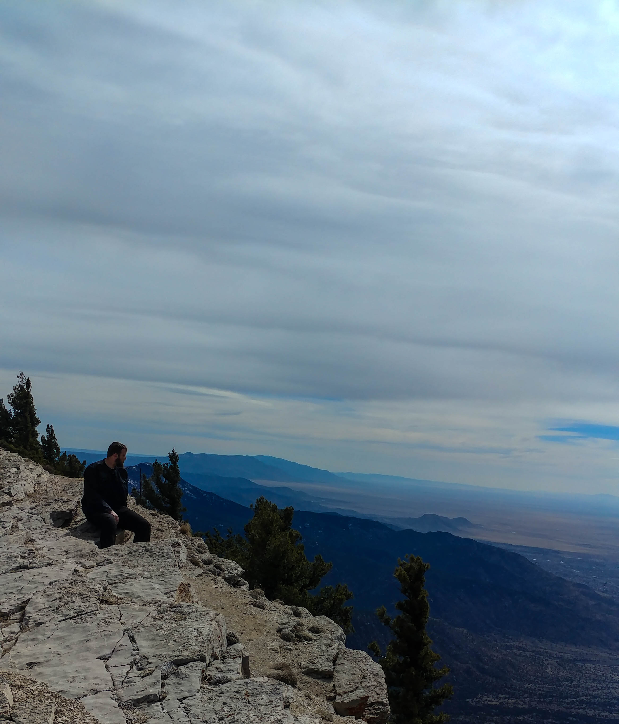
Rather sooner than I was expecting, we got to the top and parked in the parking lot. We had talked at the bottom about taking a short hike while on the crest, so we set out in the direction of the stone cabin that the Kiwanis club built in the 30’s (as we were told by a talkative older lady when we were hiking along a cliff-top). There was a good deal of snow, semi-melting, on the trail, so we jumped the fence and hiked along the edge of the crest where it was stone. The vistas from there were breathtaking.
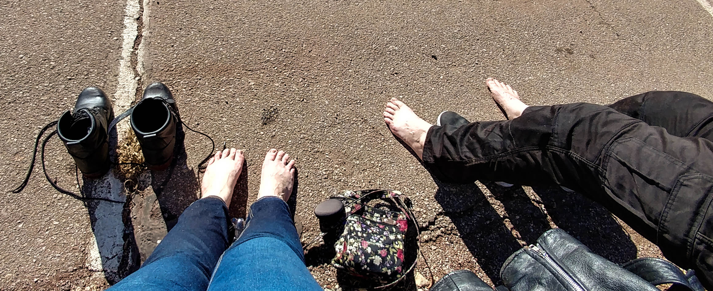
When we got to the little stone cabin, there were two guys on the roof who were having some issues getting down. we went inside the cabin for a few seconds, then continued our trek along the edge, even climbing down one tier of the cliff. I am glad that I am not afraid of heights, cause looking down would have been terrifying from where we were. I felt nimble enough to get around the stones, but I very much wished I had pants other than jeans. Armored leggings, perhaps?
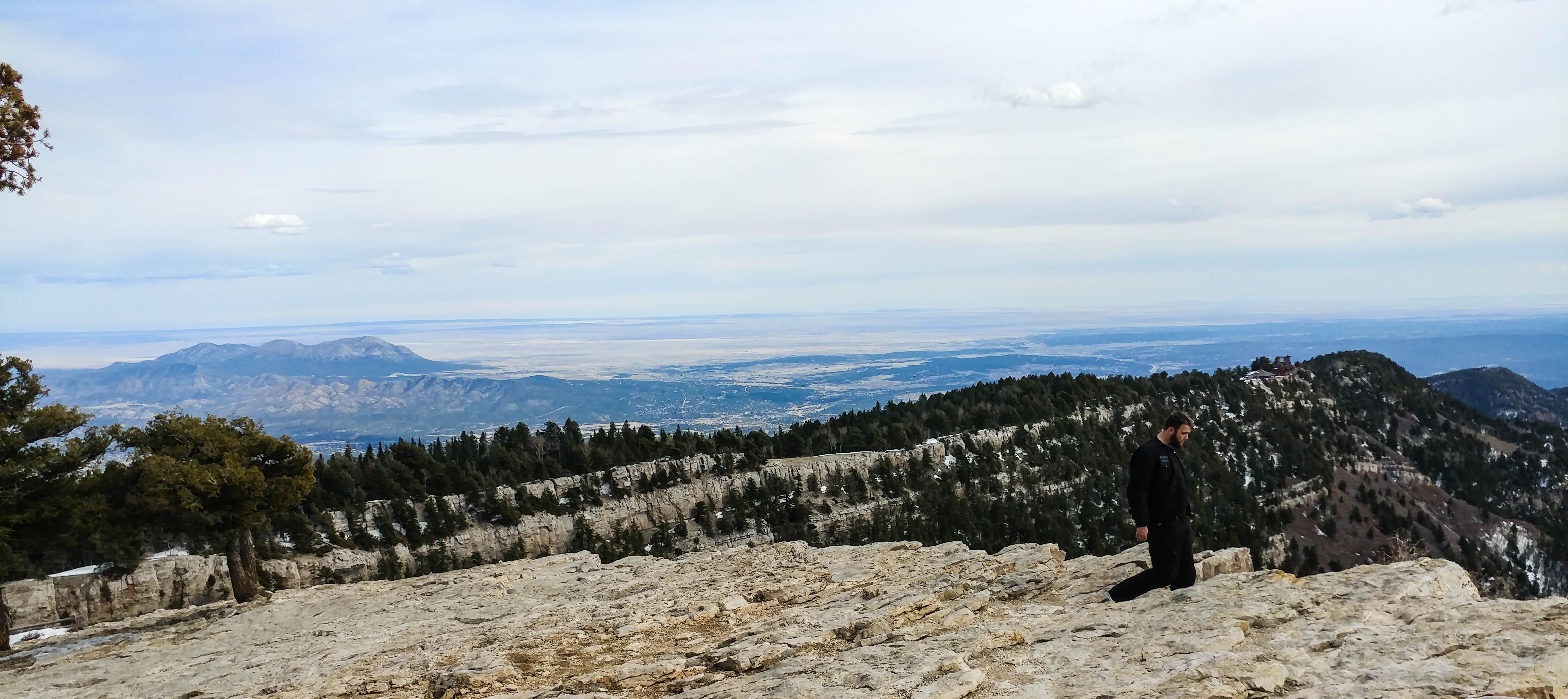
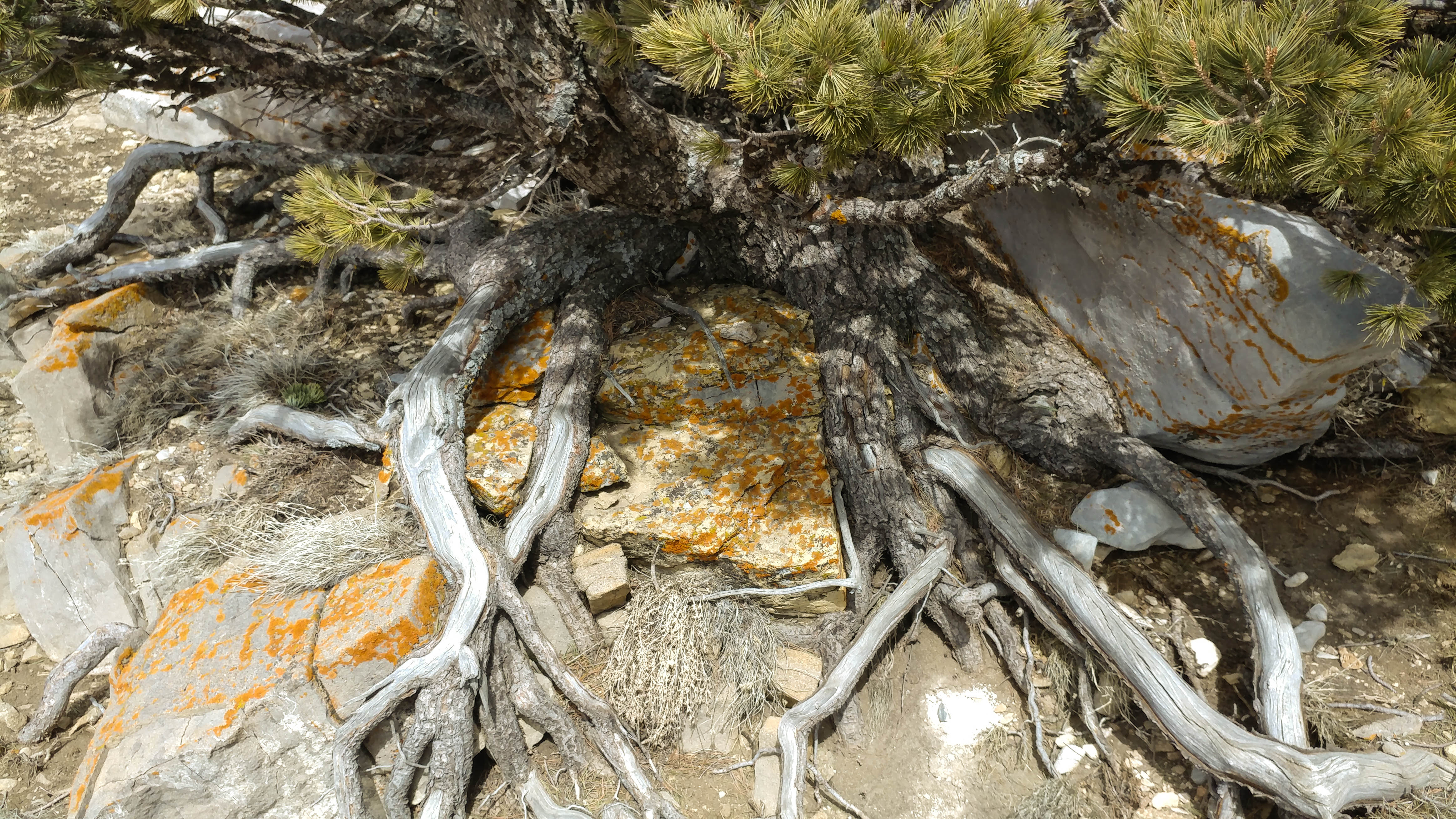
We half-slid down a rocky miniature valley til we found a little shallow cave-type area where people had apparently built a small firepit, and took in the view to the south from there. After making it back up the rocks and dirt, we decided to take the forest trail rather than go around the crest back the way we came. The snow was incredibly difficult to walk through, I often sank in up to my thighs. Craig tried to instruct me in the way of the snow walking; I got better at it, but it was definitely difficult, clopping along placing my feet like a careful horse.
Due to the snow and the thin air, we got very tired very fast, and also managed to get a bit lost. The trail we were following did not go back up to the parking lot, and our frustrations started to flare as the trail kept veering slightly right instead of going left and up like it should have. Eventually I spotted the road a bit above us, and we wound up crawling through the non-packed snow to get up to it. The thin air made it nearly impossible to catch our breath, and we had to hike up the road a ways to get back to the parking lot and our bikes.
After our snowy trek, our shoes and pant legs were very wet, so we leaned up on the guard rail in the sun drying out for a bit before heading down the mountain. I lead on the way down, which was probably for the best; after trekking through the snow I was tired and my hands and shoulders hurt, so I kept sliding my back wheel out a bit on the turns. in one switchback my shoe scraped the road as I leaned into the turn. Can’t lean too much more than that!
We made it back to Albuquerque without incident, and well before it got dark; we had taken a 2 hour hike and ridden up and down that mountain. I can hardly believe we took on those switchbacks and won.
It’s been a bit over a month since I learned to ride a motorcycle, and then bought one that same week. In that time I have put about 2000 miles on my bike, and gone for some really fun adventures with my friend Craig, who got me into all this insanity in the first place.
Saturdays have become our ride days, and yesterday being Saturday, we had planned out our longest ride yet. We planned to leave early-ish Saturday morning to go out from Albuquerque on highway 550, got off on highway 4, go through Jemez Springs, Los Alamos, Española, Las Vegas, and back down through Madrid and Cedar Crest to Albuquerque; one large 380 mile loop. Due to unforeseen errands, we wound up leaving Albuquerque at close to 1 pm.
Rather than take the freeway out to 550, we chose the scenic 313 going North, the weather was warm and fairly wind-free, and our first 27 miles started well. The scenery West of Albuquerque on 550 heading out toward our next turnoff was stunning, with white mesas and red hills, sedimentary layers thrust up by rift action contrasting against the dark dusty greens of the conifers dotting the landscape.
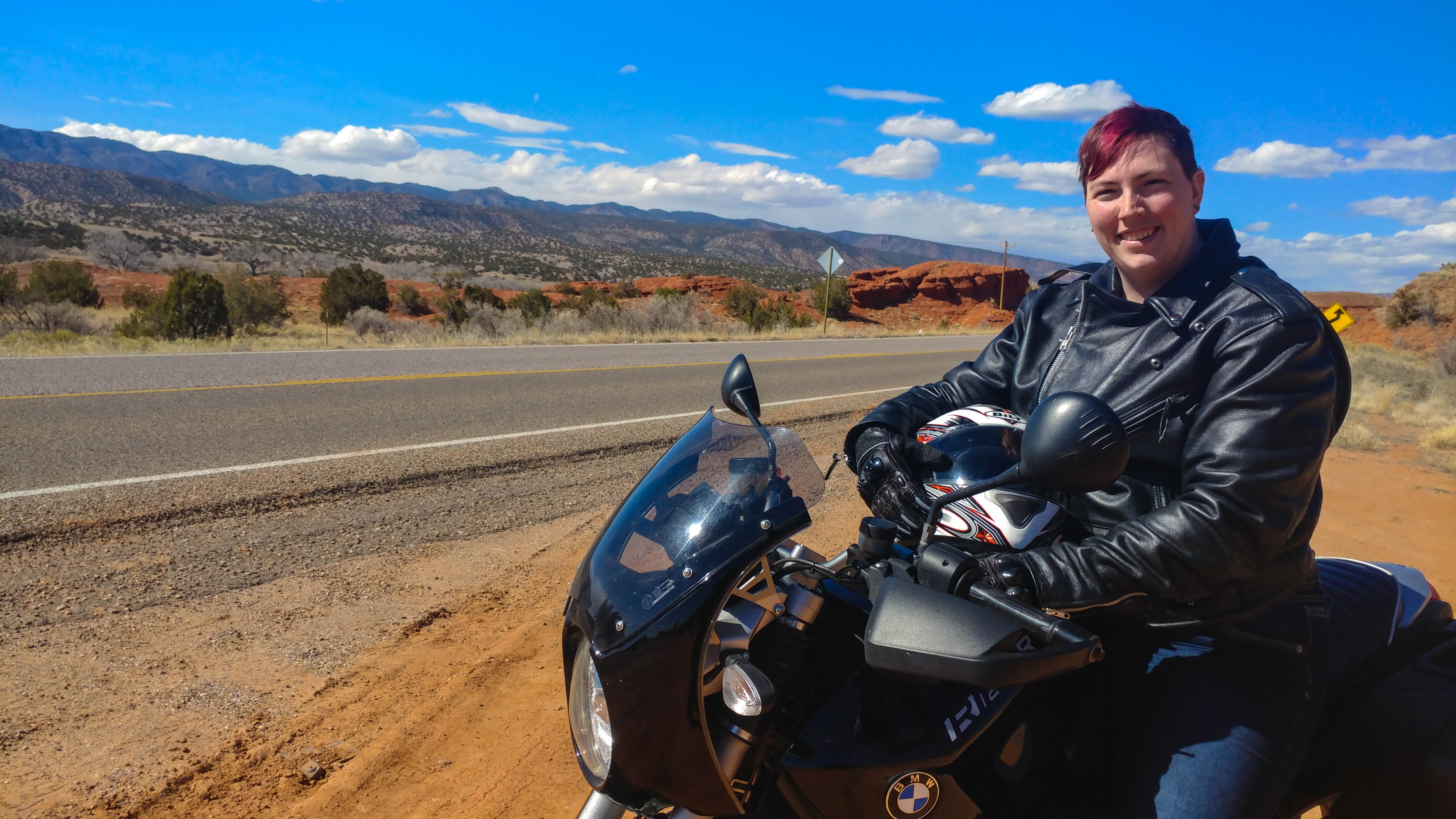
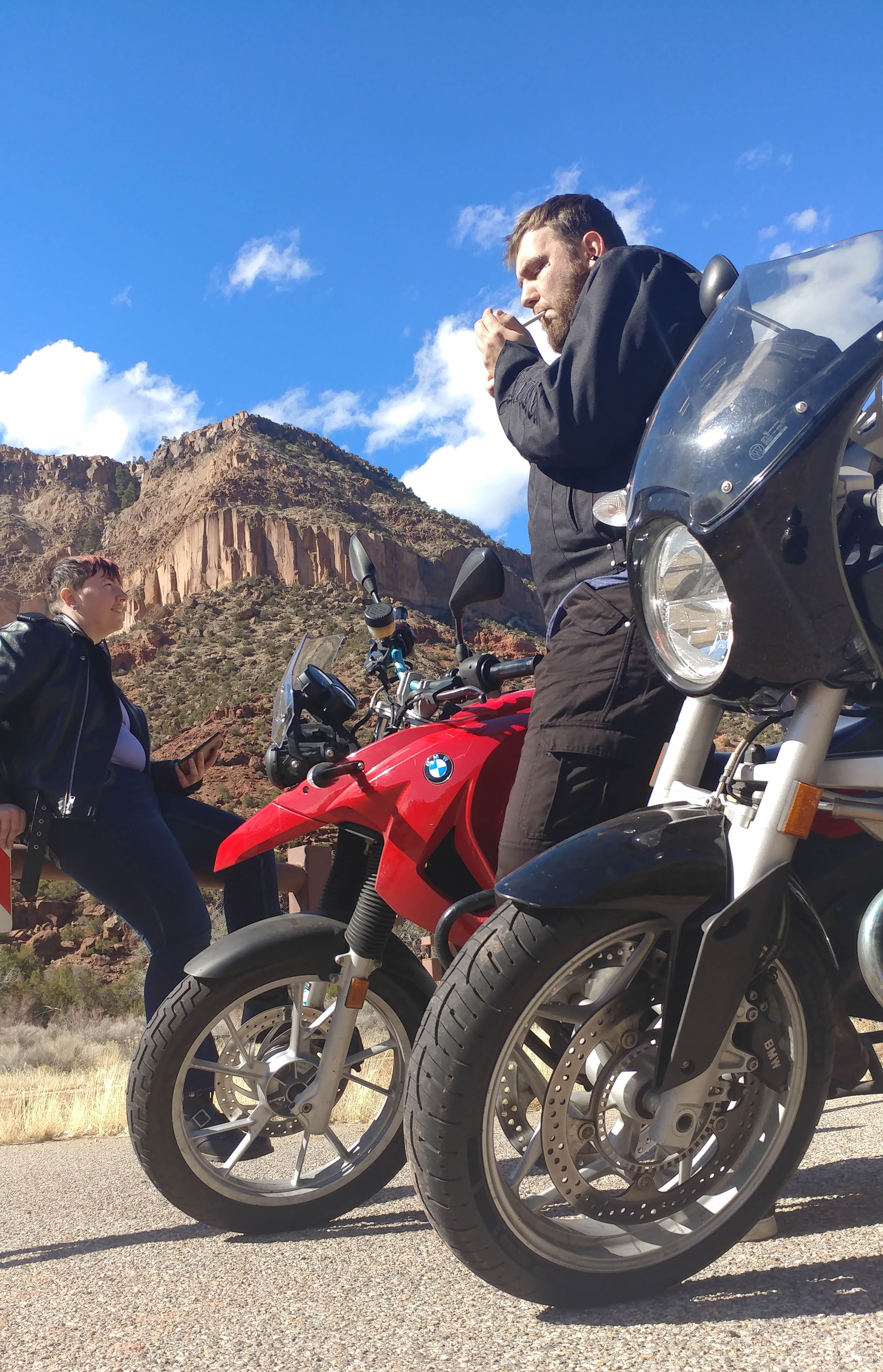
We passed through Jemez Pueblo and found a turnout on the road, where we stopped for a photo op with our bikes, and got some shots of the scenery.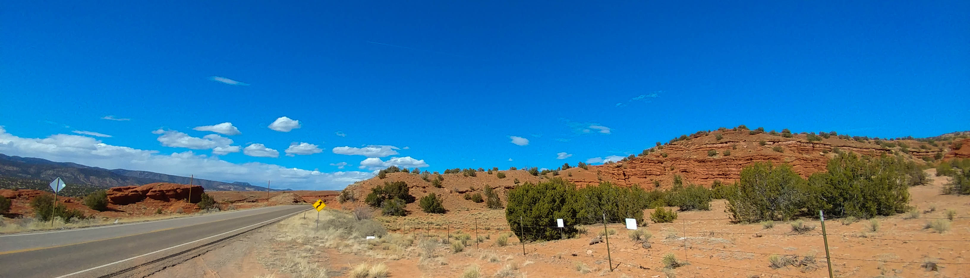
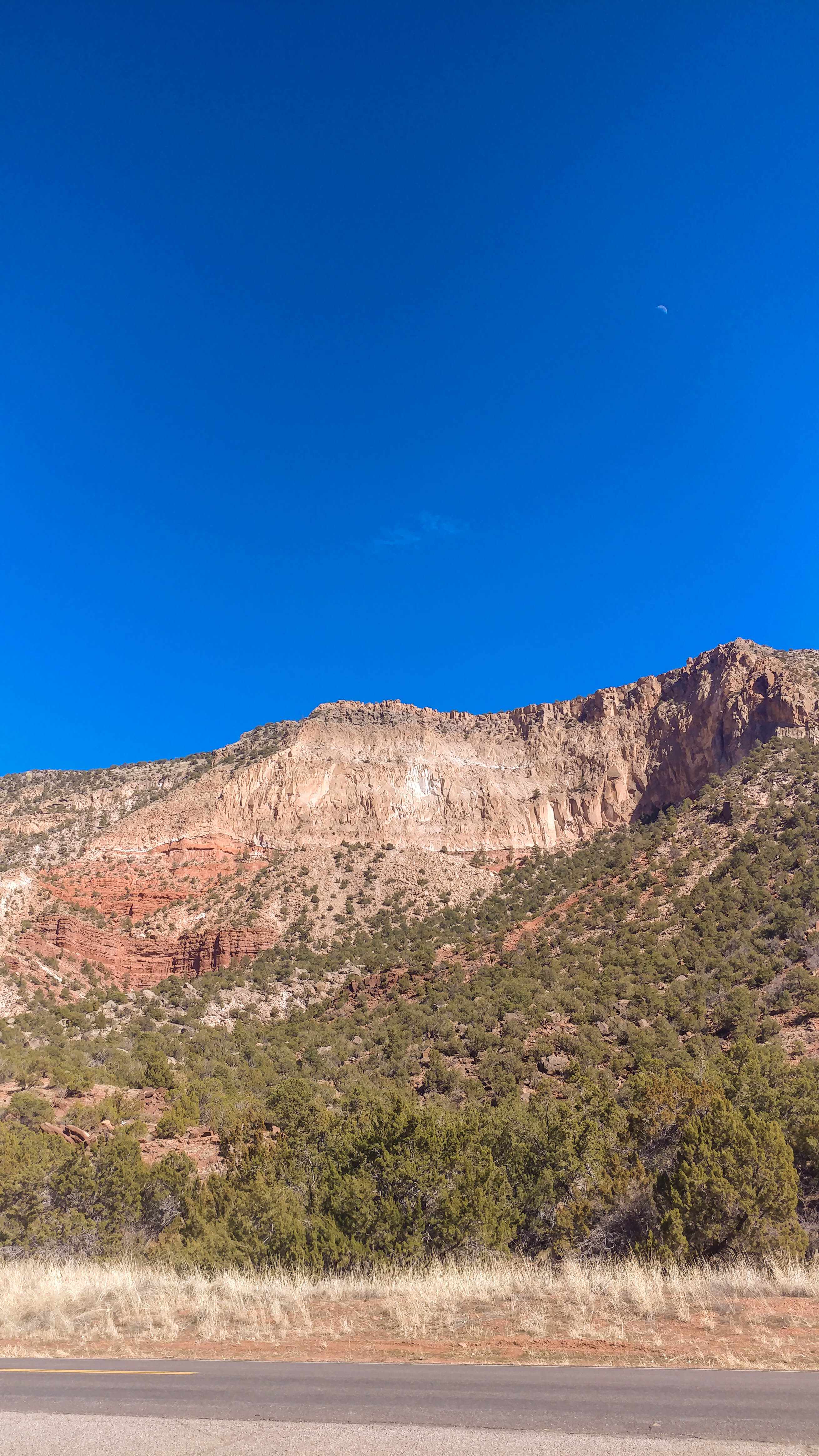
Continuing North into the canyon, we had to stop at one particularly breathtaking rise on either side. One side had a looming sheer face and on the other, the waxing moon hung out above the pink cliffs.
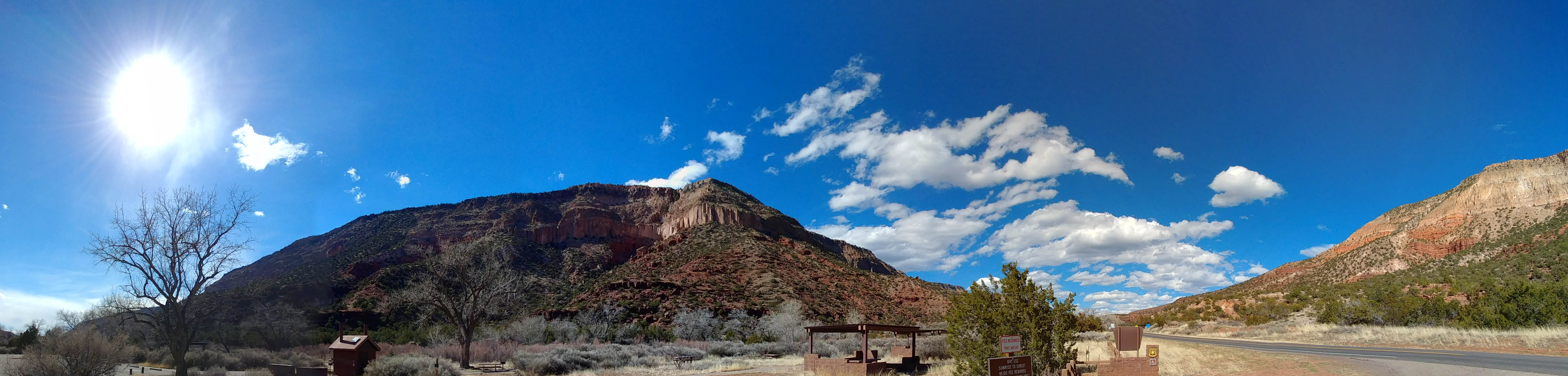
We rode further North on highway 4, passing through Jemez Springs, with a creek flowing on our left and walls of mountain and canyon on our left. We opted not to stop at a little cave near the road because there were too many people crawling all over it. Eventually the terrain changed into more pure mountain, with forest lining the road on both sides. That is, until we burst out of the curvy mountain into the vast plain of the Valles Caldera. Turning left off Highway 4, we rode down a soggy dirt road to the center, and stopped for a hike on the central peak of the caldera.
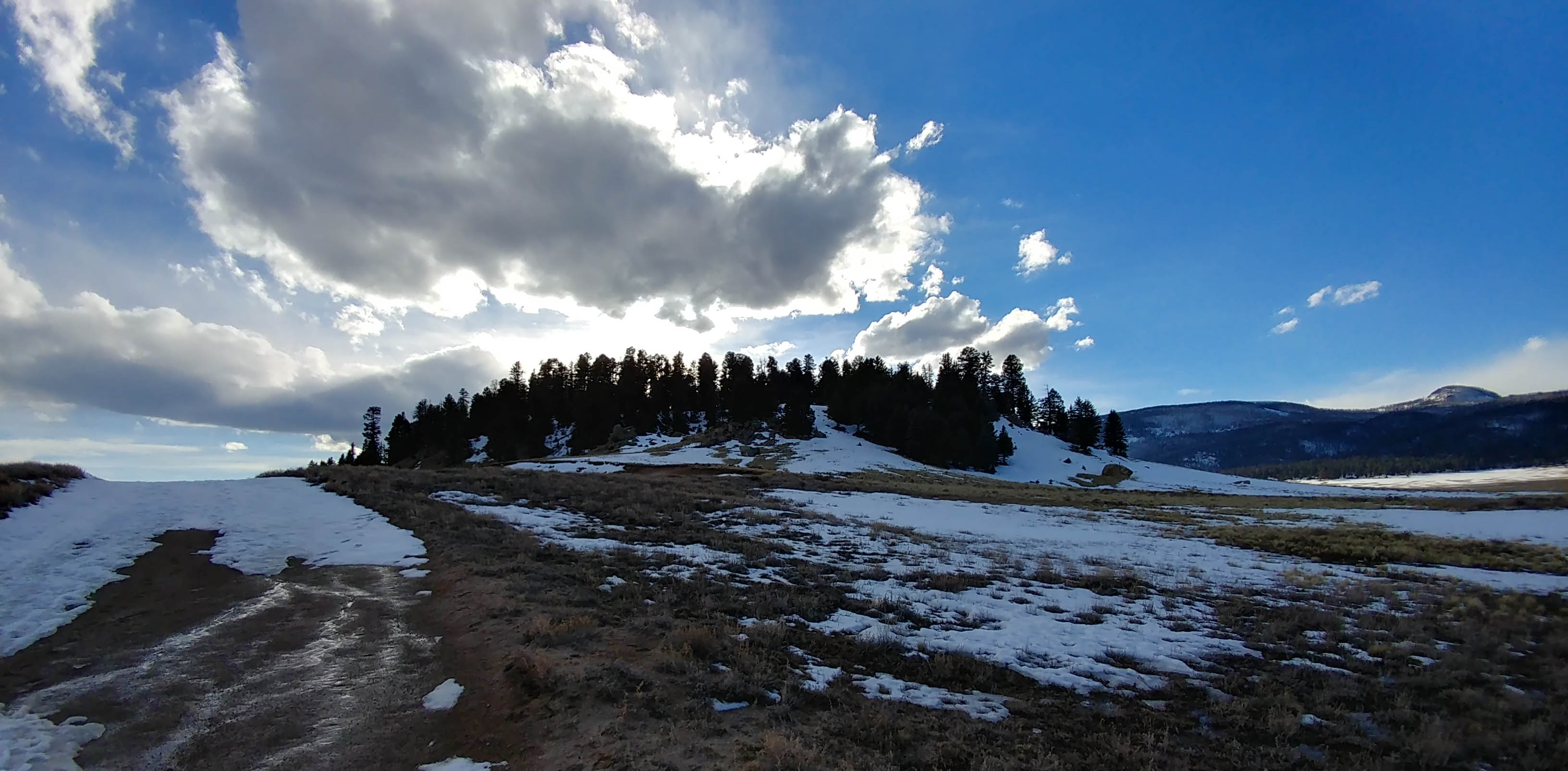
We hiked back down through snow and squishy pumice dirt, and were greeted by ravens at the parking lot as we were getting geared up to head out. The trek back out to the main road had less traffic than the way in, and we made way to Los Alamos, staying on the South side of the canyon heading toward Santa Fe.
Since it had gotten quite late, we just bombed down i25 back to Albuquerque from Santa Fe rather than complete the full loop. Our ride still ended up being a bit more than 200 miles, which is our longest ride to date.
